THE SOUTHERN CONE
PART I CONCEPTION, CHILE
2010
After the Shock
On February 27, 2010, a massive earthquake struck off the coast of central Chile. With a magnitude of 8.8, it was one of the most powerful earthquakes ever recorded. The force of the quake triggered a tsunami that devastated several coastal towns and severely damaged the port of Talcahuano.
Just days later, I flew to Concepción to document the aftermath. The scale of destruction was staggering—collapsed buildings, fractured roads, and lives overturned in an instant. I worked in collaboration with Un Techo Para mi País, a Chilean NGO dedicated to rebuilding homes and restoring communities in the areas hardest hit by the quake and tsunami. Amid the wreckage, I witnessed extraordinary resilience and the quiet strength of people coming together to start again.
From Concepción, I continued south, eventually reaching Punta Arenas—the southernmost city in Chile—before crossing into Argentinian Patagonia. The landscapes shifted dramatically, from ruined coastal towns to the wide, wind-swept spaces of the southern frontier. It was a journey through contrasts: from catastrophe to stillness, from fragility to the enduring force of nature.
What began as a response to disaster became a meditation on place and vulnerability—on how landscapes remember, and how people rebuild not only homes, but hope.
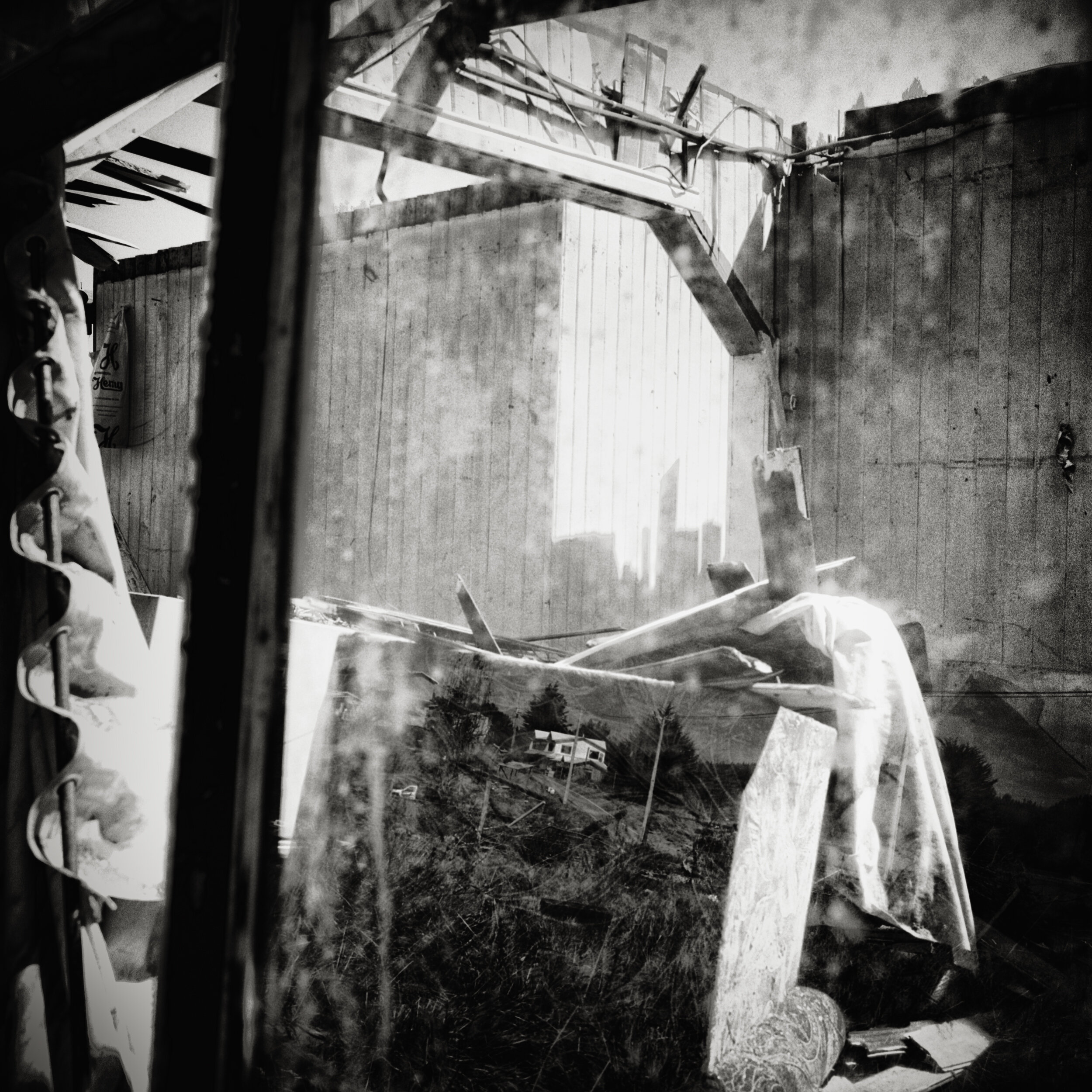
Devastation after the tsunami near Talcahuano, Chile 2010

Devastation after the tsunami near Talcahuano, Chile 2010
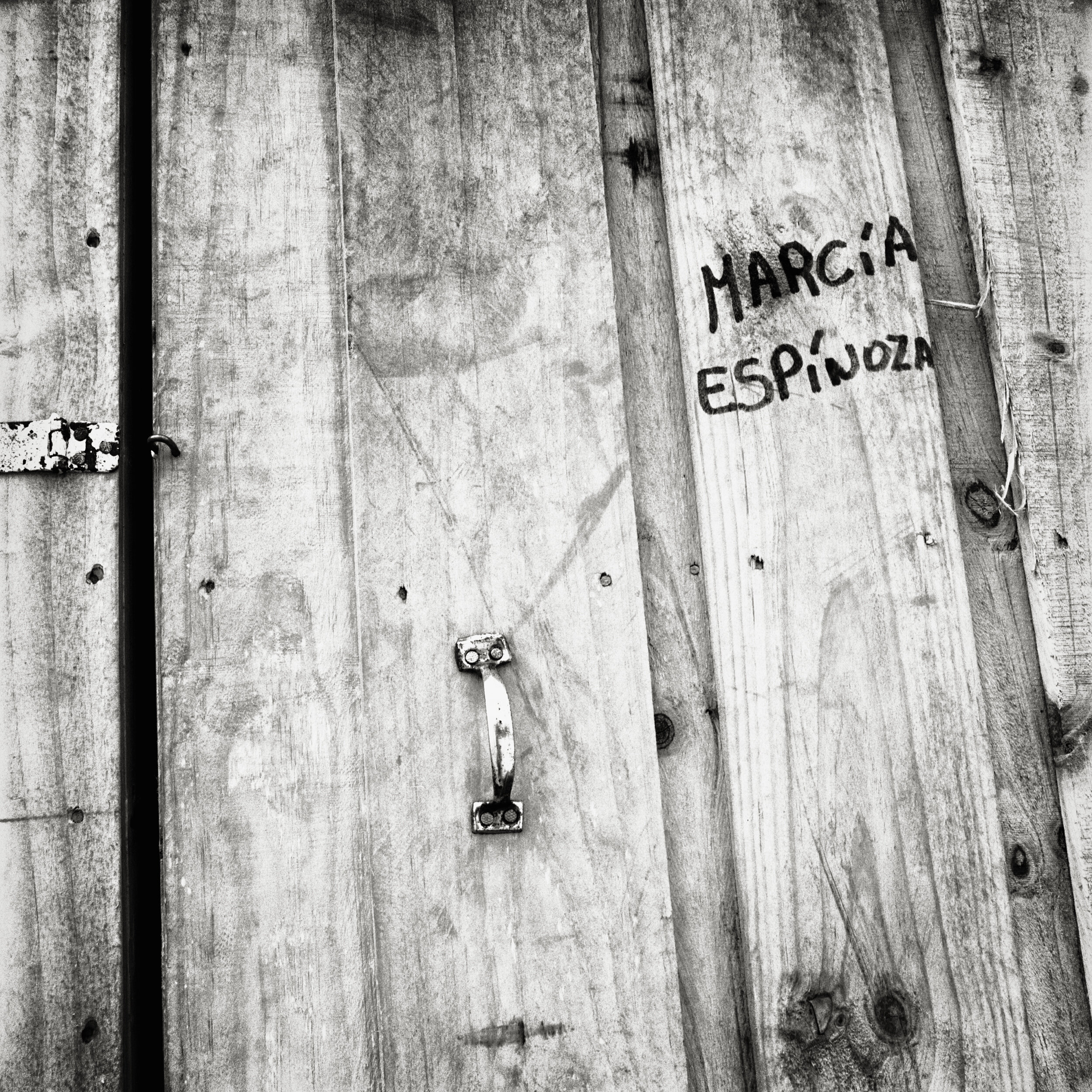
Transitional housing after the tsunami near Talcahuano, Chile 2010

Destroyed home after the tsunami near Talcahuano, Chile 2010

Transitional housing after the tsunami near Talcahuano, Chile 2010

Devastation after the tsunami near Talcahuano, Chile 2010